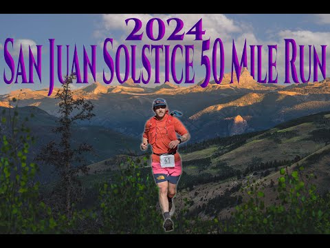
One counter-clockwise loop from the Lake City town park. Up the Engineer Pass road, then up Alpine Gulch with seven creek crossings before the first aid, over the high ridge and down into the Williams Creek Campground at mile 15.7. Up Wager Gulch past the Carson ghost town onto the Continental Divide, then fourteen miles on the Colorado Trail and Continental Divide Trail to the Divide aid station at mile 31. Down to the Slumgullion Pass highway at mile 40, then the last climb, 1,700 feet up through Vickers Ranch land, and a steep rocky two miles down into town.
Three climbs. The first is almost 4,500 feet up Alpine Gulch, the second 4,000 feet past the old Carson ghost town and onto the Continental Divide, and the third starts at mile 41 and goes up 1,700 feet to 11,000. The footing is very good for most of it. There are two long gaps between aid up on the Divide, one of ten miles and one of nine, and the first aid station at mile 7 carries no water at all, so the first fluid stop after the start is mile 15.7. Storms on the Divide are the thing to watch. The race tells runners to get off the high ridges if it goes electric, and allows them to parallel the trail between miles 23 and 36 to do it. Trekking poles are allowed.
A 50 mile trail run in the San Juan Mountains of south-central Colorado, one counter-clockwise loop out of Lake City. Three climbs take it from 8,671 feet to 13,334, with fourteen miles on the Colorado Trail and Continental Divide Trail and seven creek crossings in Alpine Gulch before the first aid station. The clock runs 16 hours, from a 5 a.m. start to a 9 p.m. cutoff back at the town park. It is a benefit run: the money goes to Lake City's volunteer EMTs, to scholarships for graduating local students, and to other public service in the town.
The first running was on 17 June 1995, and it was called the Lake City 50. Snowfields on the Continental Divide stopped the proposed route that year and the course was cut to an out and back to Williams Creek, so the founders, Chip and Cathy Lee, moved race day to the third week of July. July had its own problems: the town was packed with tourists, rooms were hard to find and Lake City had no time for the race, and lightning on the Divide kept producing near misses. In 2002 the Lees handed the race to the Lake City community as a benefit for the town's EMTs, it was renamed the San Juan Solstice 50 Mile Benefit Run, and the date moved back to the solstice. Because the solstice falls on a different day each year, race day shifts between the Saturday before and the Saturday after it. In 2014 it landed on the solstice itself, about nine minutes after the moment of it. The 2019 and 2020 editions were cancelled.
| Mile | Station | Cutoff | Crew access | Bag | Pacer | Med | To next |
|---|---|---|---|---|---|---|---|
| 0.00 |
Town Park
8,671 ft · EMS
|
? | ● | · | · | ● | 7.00 |
| 7.00 |
Alpine
None · EMS
|
7:30am | · | · | · | ● | 8.70 |
| 15.70 |
Williams
None · EMS
|
10:15am | ● | ● | · | ● | 5.30 |
| 21.00 |
Carson
None · EMS
|
12:00pm | · | ● | · | ● | 10.00 |
| 31.00 |
Divide
None · EMS
|
3:45pm | · | · | · | ● | 9.00 |
| 40.00 |
Slumgullion
None · EMS
|
6:00pm | ● | ● | ● | ● | 6.50 |
| 46.50 |
Vickers
None · EMS
|
8:15pm | · | · | ? | ● | 3.50 |
| 50.00 |
Town Park
8,671 ft · EMS
|
9:00pm | ● | · | ? | ● | ? |
From Start/Finish at the Town Park, go east on 3rd or 2nd Street to Highway 149. Turn right (southbound) on 149 and drive about 2.5 miles to County Road 30 (aka the Lake San Cristobal/Cinnamon Pass Road). For the Williams Creek Aid Station, turn right at County Road 30 and drive approximately 6.5 miles to the William Creek Campground.
Parking. Park well off the road on County Road 30. Do not park in the campground, and please leave your dogs in your vehicle. Walk to the aid station at the back of the campground. Please be courteous and considerate of campers.
sjs50.comFrom Start/Finish at the Town Park, go east on 3rd or 2nd Street to Highway 149. Turn right (southbound) on 149. For the Slumgullion Aid Station, back on Highway 149, continue past County Road 30 and drive approximately 3 miles up towards Slumgullion Pass beyond the Lake San Cristobal Overlook and Mile Marker 67.
Parking. Please park well off the highway and do not overcrowd the aid station. The race encourages crew and family to follow their runner's progress from the Start/Finish after Williams, and to arrive at Slumgullion shortly before their runner does.
sjs50.com11 people have been out there with a camera or a microphone.
+ 3 more.
These are other people's work and we link straight to them. Watching costs nothing and needs no account. More of them: every race we hold, on film.
Nobody sees it until we have read it. No account, no sign-in.
This changes nothing on the page on its own. Somebody checks it against the race first.
Somebody watches it before it goes anywhere near this page. What we are after is footage of this course, on the ground. If it would be just as true of any other race, it is not this.
We want the address of the file the race publishes, not the file. We download it from there so the page can say where the line came from.
We read every one of these and we write back. Every fact here carries the source it came from, and the way a wrong one gets fixed is a person checking it against what you tell us.
Cutoffs move, races get postponed, lotteries open and close. We read the race's own sources and record where every fact came from. Put your email in and we will send you what changed, and where we read it.
No account, and nothing to cancel.
What happens to your email. Nothing else. I do not sell it, and I will not send you anything except this race changing. One click gets you out.
I keep this catalog because the information is scattered and hard to trust. Telling you when it moves is the same job.

NavRun builds your pacing from your own training, then turns it into a plan your crew can follow: when to leave and where to park.
Start free